As land forces demand ever-more connectivity over increasingly larger areas, might UAV-based ‘data mules’ emerge as an efficient complement to tactical trunk communications?
Land forces rely on a relatively simple ways of communicating. Take a squad of dismounted infantry. Each soldier will be equipped with a Personal Role Radio (PRR). The PRR will connect squad members to one another and to their commander so they can share voice, data and perhaps even some imagery traffic. The squad commander will probably use a two-channel handheld radio alongside the PRR, the latter connecting the commander to their squad. One channel of the handheld radio connects them to the other squad commanders in their platoon, the other linking them to the platoon commander. The platoon commander’s radio, which maybe vehicle-based or in a backpack, connects them to their squad commanders and upper echelons. This structure of networking continues as echelons of command rise, until reaching division and corps headquarters.
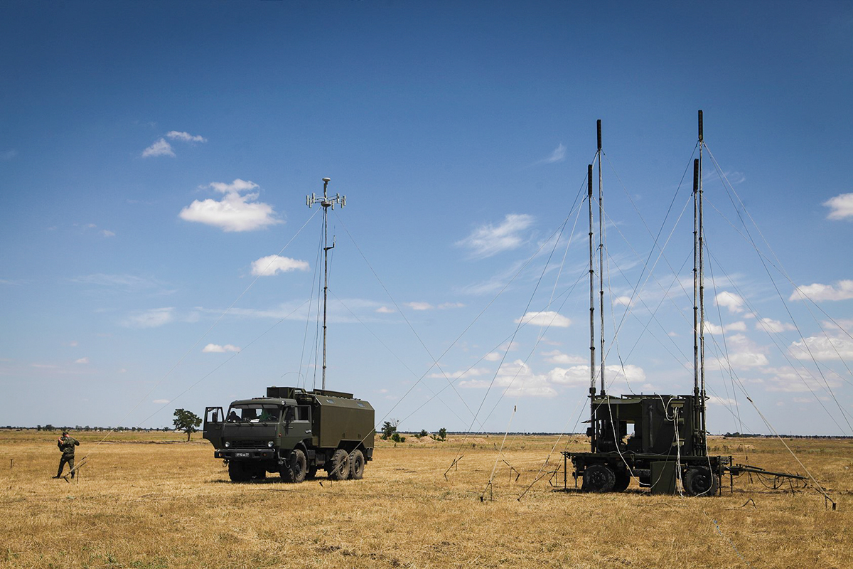
Today’s battlefields present key challenges to the signaller. Trunk communications are imperative to connect different echelons of command. Tactical communications typically rely on Very/Ultra High Frequency (V/UHF: 30 megahertz/MHz to three gigahertz). V/UHF is a good bandwidth for carrying voice and data traffic across line-of-sight ranges from one radio to another. Line-of-Sight (LOS) means that the antenna of the transmitting radio and the receiving radio have a largely uninterrupted link across which they can ‘see’ each other.
V/UHF LOS communications’ biggest weakness is that they cannot follow the curvature of the Earth. A soldier equipped with a radio with a combined height of 6.6 feet/ft (2 metres/m) can communicate with another radio 3.6 miles (5.8 kilometres/km) away. Enhancing the output power of the radio can help this range to increase, but not by much. Enhancing the radio’s amplifier may impose a size and weight penalty, and risk depleting battery life, requiring the soldier to carry more of the latter. Elevating the height of the antenna does help improve range. Suppose a vehicle is 10ft (3m) high and has a 2m radio antenna on its roof. The combined height of the antenna and vehicle provides a range of 5.6 miles (9km). A static base may have a 49ft (15m) mast, but even this will struggle to give a range beyond 10 miles (16km).
The large and dispersed battlefields that characterise the Ukrainian theatre of operations, and also characterised the U.S.-led intervention in Afghanistan, make V/UHF communications unsuitable for trunk communications. Satellite Communications (SATCOM) and High Frequency (HF: three megahertz to 30MHz) are used to avoid V/UHF LOS limitations. SATCOM bypasses the curvature of the Earth by aiming communications signals at satellites in space. Like the cushion on a snooker table, satellites retransmit signals to where they are intended to arrive on Earth. HF works in a similar fashion but dispenses with satellites. Instead, HF traffic is beamed towards the ionosphere, a layer of the atmosphere between 157,480ft (48,000m) and 521 nautical miles (965km) above Earth which HF signals cannot penetrate. As a result, these signals are refracted at an angle back to Earth. Trigonometry lets the signaller determine the angle at which the HF signals should be aimed at towards the ionosphere to ensure they are refracted to the correct point on Earth.

As with all forms of radio communications HF and SATCOM, much like V/UHF radio, have advantages and disadvantages. While high frequency radios can move traffic across intercontinental ranges thanks to the ionospheric trampolining discussed above, HF data rates are limited compared to other frequency bands. Some HF data rates can be as low as 9.6 kilobits-per-second (kbps). To put matters into perspective, the average smartphone can achieve data rates of several megabits-per-second. The quality of HF communications can also be at the mercy of solar activity which can affect the behaviour of the ionosphere.
SATCOM bandwidths too can have challenges. Satellite communications users exploit a plethora of bandwidths stretching from circa 240MHz up to 40GHz. One could write an article uniquely on the pros and cons of these respective bandwidths. However, for the sake of brevity, a simple rule-of-thumb suffices to explain SATCOM frequency characteristics: Generally speaking, the higher up in frequency one goes, the more data can be moved across a SATCOM link and the smaller the antenna becomes. However, the higher the SATCOM frequency, the more likely it is to be adversely affected by contaminants in the atmosphere like rain and snow. HF can be comparatively difficult to jam because of the complexity and capriciousness of its dependence on the ionosphere which may not be the case for SATCOM. It is noteworthy that Russian land forces occupying parts of Ukraine deployed SATCOM jamming platforms into the theatre of operations. News emerged in late May that Russian electronic warfare (EW) cadres were jamming SpaceX Starlink SATCOM terminals used by the Ukrainians. Starlink routinely employs wavebands of 10.7GHz to 42.5GHz to move traffic to and from Earth via the Starlink constellation’s satellites.
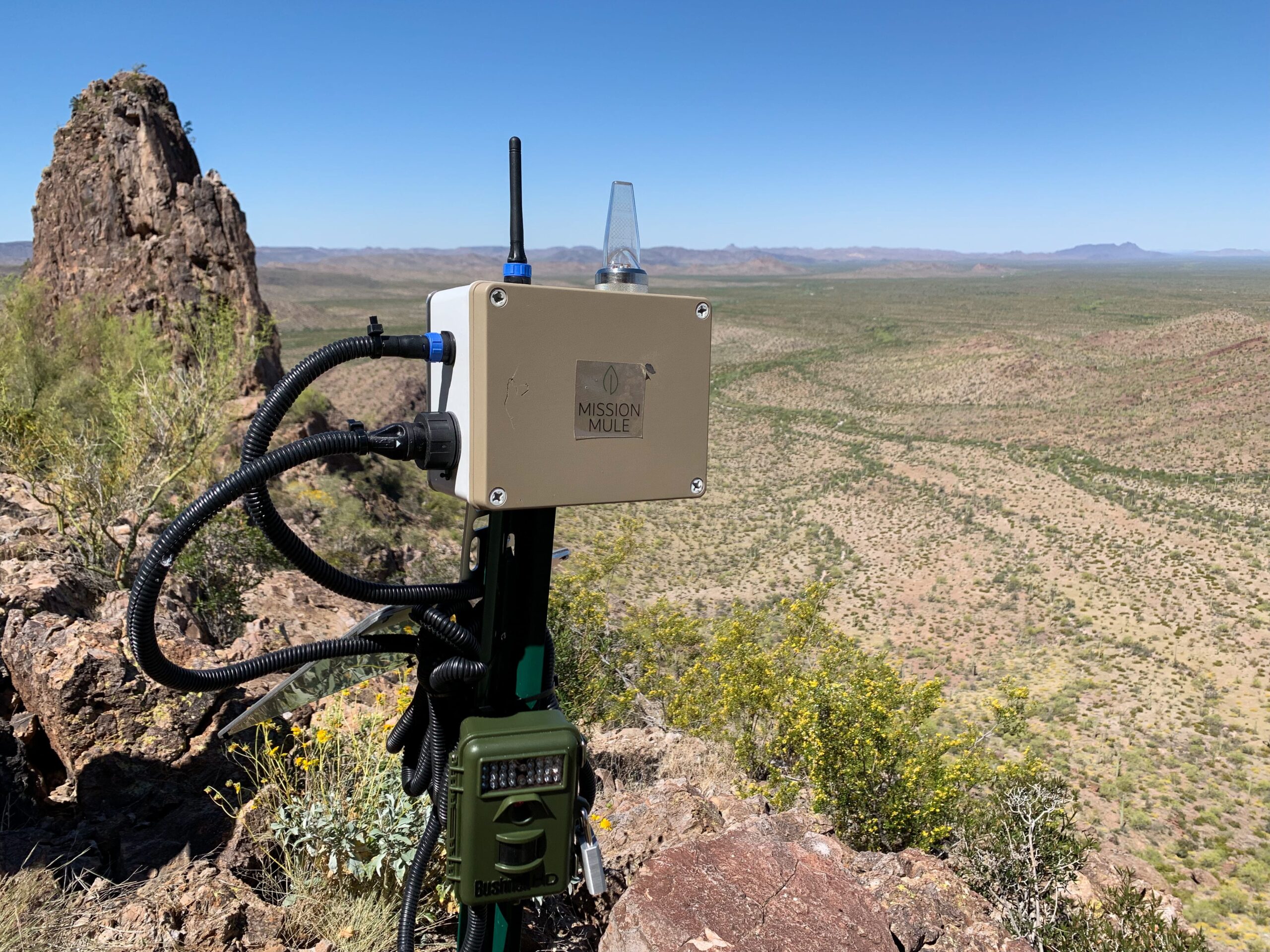
It is best for deployed land forces to use both HF and SATCOM for long distance trunk communications to retain some redundancy. However, “military tactical communications are often severely bandwidth-limited, especially in contested environments,” says Zane Mountcastle, co-founder of Mission Mule, a company based in California specialising in UAV-based data mules. “This makes it difficult to send large quantities of data such as raw radar data or full-motion video, over long distances.” Both HF and SATCOM could be supplemented in the future by data mules, essentially Uncrewed Aerial Vehicles (UAVs) which collect communications traffic and deliver that traffic to its destination.

Data Mules
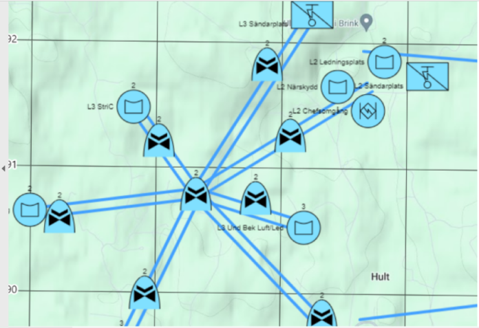
A paper penned by Pär-Anders Albinsson entitled Data Mules in Future Military Command and Control Systems published by Sweden’s Totalförsvarets forskningsinstitut (FOI: Swedish Defence Research Agency) in March examined the concept. Albinsson is an FOI scientist. The easiest way to think of a data mule UAV is of it being akin to the motorcycle dispatch riders or runners who would provide trunk communications on the battlefield before the widespread adoption of radio. Carrier pigeons also played a similar role. As Albinsson notes in his report, the UAV would have a computer which could be loaded with all the data and communications that need to be shared. This is loaded onto the aircraft, most probably wirelessly across a radio link, which then flies to its destination and downloads the data in a similar fashion. The UAV may then receive new data and either fly back to its point of origin to share this or fly to a new location where the data is needed. “In a nutshell, data muling is about transporting data physically from one node to another,” Albinsson told AMR. Data muling has already been used in the civilian world. For example, wildlife monitoring has exploited the concept: “Actual wild animals were wearing sensor node equipment and when in range, could synch the data with other nodes,” Albinsson continued. In a military context, “data muling, using UAVs as radio bridges is a good way of extending networks … if for some reason it is not possible to establish a normal fully-connected network.” Moreover, “if you need to get really large amounts of data from one point to another, traditional radio solutions will not suffice.” Mountcastle concurs, saying that data mules hold promise in “allowing very large quantities of data to be rapidly transported over long distances.” A flying data mule could “retrieve large quantities of ground sensor data from distributed systems without the need to set up and maintain complex ground radio networks.”
Advantages
The data mule concept, like other forms of communications, has advantages and disadvantages. Radio waves travel at the speed of light; 186,000 miles-per-second (299,274 kilometres-per-second). Obviously, UAVs cannot reach anything like these speeds, but they are still quick. A DJI Phantom civilian-standard UAV can hit a top speed of almost 40 knots (74 kilometres-per-hour). A motorcycle may be quicker, but the UAV may be able to follow a more direct route and might not need to traverse rough terrain which could slow the former’s journey. Furthermore, a UAV is disposable. Should you lose a data mule, another one is simply put in its place and the data reloaded from its original source. This is not the case for a dispatch rider.
An alternative to the point-to-point use of data mules is to have several continuously orbiting the battlefield. Let us suppose that we have Battalion A, Battalion B and their headquarters located at different points, separated by wide distances. The data mule UAVs follow an orbit which takes them above each of these formations and their headquarters. When the data mule is above Battalion A, the radio link connecting the UAV to the battalion’s communications net is automatically established. Any traffic for Battalion B and the headquarters is automatically uploaded. Any traffic for Battalion B is likewise automatically downloaded and the UAV continues to repeat this process as it traverses above each formation and the headquarters. The benefit of using this orbital method is it avoids the UAV having to hover while the transfer is performed. Albinsson’s research says that it is possible to transfer several megabits worth of data to an aircraft flying overhead at speeds of up to 97 knots (180 km/h). One calculation he cites is that data mules furnishing four deployed companies could collect data from deployed sensors 2.2 miles (4km) away could deliver up to 64Gbs of information every 10 minutes.
Space is another consideration. Chips can hold mind-bending quantities of data which can equate to reams of paper and physical media, far exceeding what a dispatch rider or runner can comfortably carry. Likewise, data mules offer redundancy. Our above scenario talks of one UAV travelling between two deployed battalions and their headquarters. The relatively low costs for UAVs mean that multitudes of mules could be deployed over the battlefield ferrying data between formations and headquarters. If one data mule is lost, the nearest aircraft assumes the former’s mission until a new UAV is launched as a replacement. If enemy electronic warfare assets are targeting blue force trunk SATCOM links, or if HF is unavailable, data mules can take over.
Disadvantages
Land manoeuvre warfare, as its name suggests, is rarely static. Returning to the concepts discussed above, the respective communications nets used by formations and their headquarters maybe continually moving. Thus, the UAV may continually need to fly new routes, or new orbits, between the manoeuvre elements. These tactical demands will mean that the UAV’s flightpaths will be in a near constant state of change. It may simply not be practical for a pilot to continually adapt and change these flight plans. Instead, it may be necessary for the UAV to be fed details on friendly unit dispositions from blue force tracking software. The aircraft could then automatically plan its most efficient routes based on the prevailing tactical situation. Using blue force tracking software may have the added benefit of alerting the UAV to red force dispositions, and hence potential threats.
Security and survivability are also major concerns. As Albinsson warns in his report that “data mules will end up in enemy hands sooner or later and with it their cargo.” The data carried by the captured UAV could be a treasure trove of intelligence to the enemy. He argues that it is imperative that data is encrypted to prevent its exploitation. Data will need to be moved to and from the UAV across encrypted links to prevent the enemy feeding the data mules with false data to attack blue force command and control. Is there a case to be made for an auto-destruct system that physically destroys the data mule’s payload if the aircraft is attacked? Of course, kinetically engaging the aircraft risks destroying the payload. What would happen if the enemy takes over control of the aircraft electronically? Is there a way that software could be employed to ensure the aircraft understands it is under electronic attack and to then either take steps to mitigate the attack, or destroy its payload?
One way to avoid an electronic ‘hostile takeover’ of the aircraft is to ensure that it remains largely non-dependent on external radio signals. Many UAVs, particularly civilian standard aircraft, rely on Global Navigation Satellite Signals (GNSS), which tend to use frequencies of 1.1GHz to 1.6GHz. UAVs can be vulnerable to GNSS jamming, as both sides have discovered during the ongoing war in Ukraine. A jammed UAV may either land in situ or return to its point of origin as a failsafe mechanism. Ukrainian engineers are working hard to reduce the dependence of UAVs on GNSS signals. Such work has the added benefit of reducing the need for the aircraft to be continually ‘tethered’ to a pilot via a radio signal to allow the latter to control the UAV. Inertial Navigation Systems (INSs) use accelerometers, gyroscopes and a timing source to aid navigation, requiring no external inputs like radio signals. Your correspondent has been briefed on approaches that Ukrainian engineers are taking combining INSs with artificial intelligence approaches to enhance UAV navigation. Eliminating the need to receive an external radio signal like a GNSS transmission would help to protect the aircraft from incoming jamming signals. The battlefields of Ukraine are now awash with electronic warfare systems deployed at tactical and operational levels solely tasked with downing UAVs.

Conclusions
It would be disingenuous to suggest that data mules can take the place of conventional trunk communications. HF and SATCOM remain trusted and reliable. Nonetheless, data mules do have a potential role to play in supplementing these established conduits. Mountcastle says that the U.S. military is showing interest in data mules. He says that his company’s offerings have been developed to Technology Readiness Level-7 (TRL-7). According to US Department of Defence definitions, TRL-7 denotes that the technology has been demonstrated in an operational environment. Mountcastle continues that “a prototype has been tested in multiple real operational environments on military installations in the U.S. … as far as I know (this) project was the first to successfully implement this technology in the real world.”
When might we see data mules being used routinely on the battlefield? “It’s hard to say,” says Mountcastle, “as satellite-based communications become more ubiquitous, there’s limited advantage to using UAV-based data mules for remote data retrieval as each sensor can now have its own high-bandwidth satellite communications device.” Nonetheless, “data mules can still be vital for very-large data transmission over large distances.” Mountcastle believes that “military users will begin using similar devices in the next few years as the number of cameras and other sensors continues to grow, causing already bandwidth-constrained militaries to be unable to handle the amount of data.” Like all forms of communications data mules have their advantages and disadvantages, but they do have a potential contribution to make in enhancing battlefield communications. We can expect to see further work establishing their potential in the future.
by Dr. Thomas Withington


